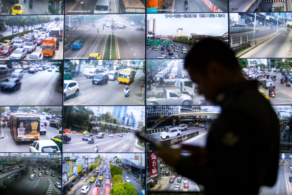
iTIC serves as the national hub for exchanging and integrating traffic data of the country. This includes incident reports, parking availability, road pollution, and greenhouse gas emissions. We provide both raw data and processed datasets, tailored for immediate application.
Why connect through iTIC?
Comprehensive & Neutral: A central hub for public and private data.
Convenient: Seamless integration via platforms and APIs.
Standardized: Reliable data exchange protocols.
Trusted Governance: Strict PDPA, cybersecurity, and quality control.
Socially Driven: A dedicated social enterprise for public benefit.
iTIC probe
Featuring nationwide GPS data (both real-time and archived) tracking position, speed, and heading from over 160,000 probes, 24/7. The example on the right showcases a sample of open-source probe data at Victory Monument on August 8, 2025, at 16:00.
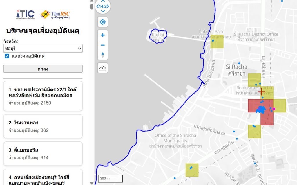
iTIC Traffic Black Spot
Features historical accident data from 2024 to the present. Users can filter by area and display details, rankings, or heatmaps as needed. The sample image displays accident statistics for Si Racha District, Chonburi.
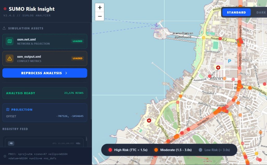
iTIC Risk Simulation
Risk Assessment Model: Utilizing SUMO (Simulation of Urban Mobility) to construct road networks and simulate traffic flows. Each vehicle is equipped with a virtual Black Box to monitor braking rates. By identifying locations with harsh braking (high-risk spots), the model enables pre-analysis and testing on a Digital Twin before implementing physical road improvements.
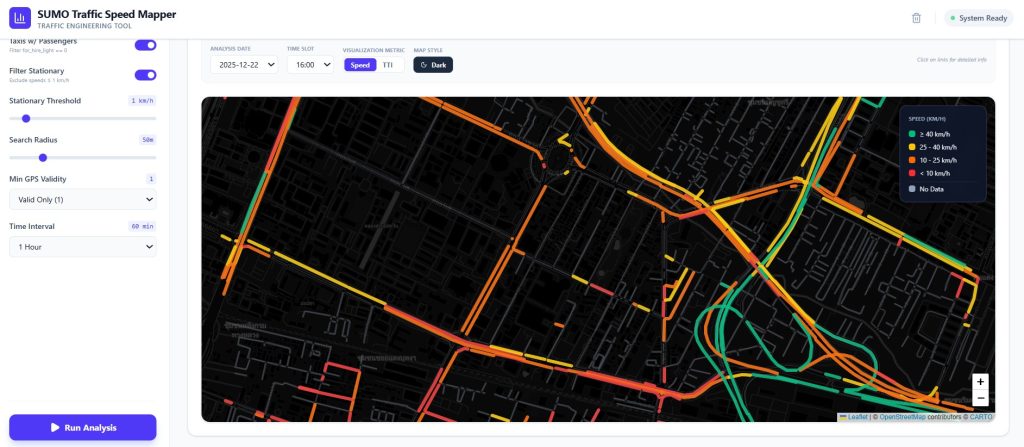
iTIC Link Speed
iTIC probe data can be used to calculate Link Speed and the Travel Time Index (TTI) for specific areas and timeframes. The image demonstrates hourly Link Speed snapshots around Victory Monument.