


This is an annual service providing the latest Location Table dataset—a set of standardized reference tables used to pinpoint the locations of intersections and roads. The Intelligent Traffic Information Foundation (iTIC), in collaboration with ITS Thailand, NECTEC, and partner company, has continuously co-created and maintained the Thailand Location Tables, utilizing them as the primary location reference source for broadcasting traffic information.
Please request the iTIC location table from this section.
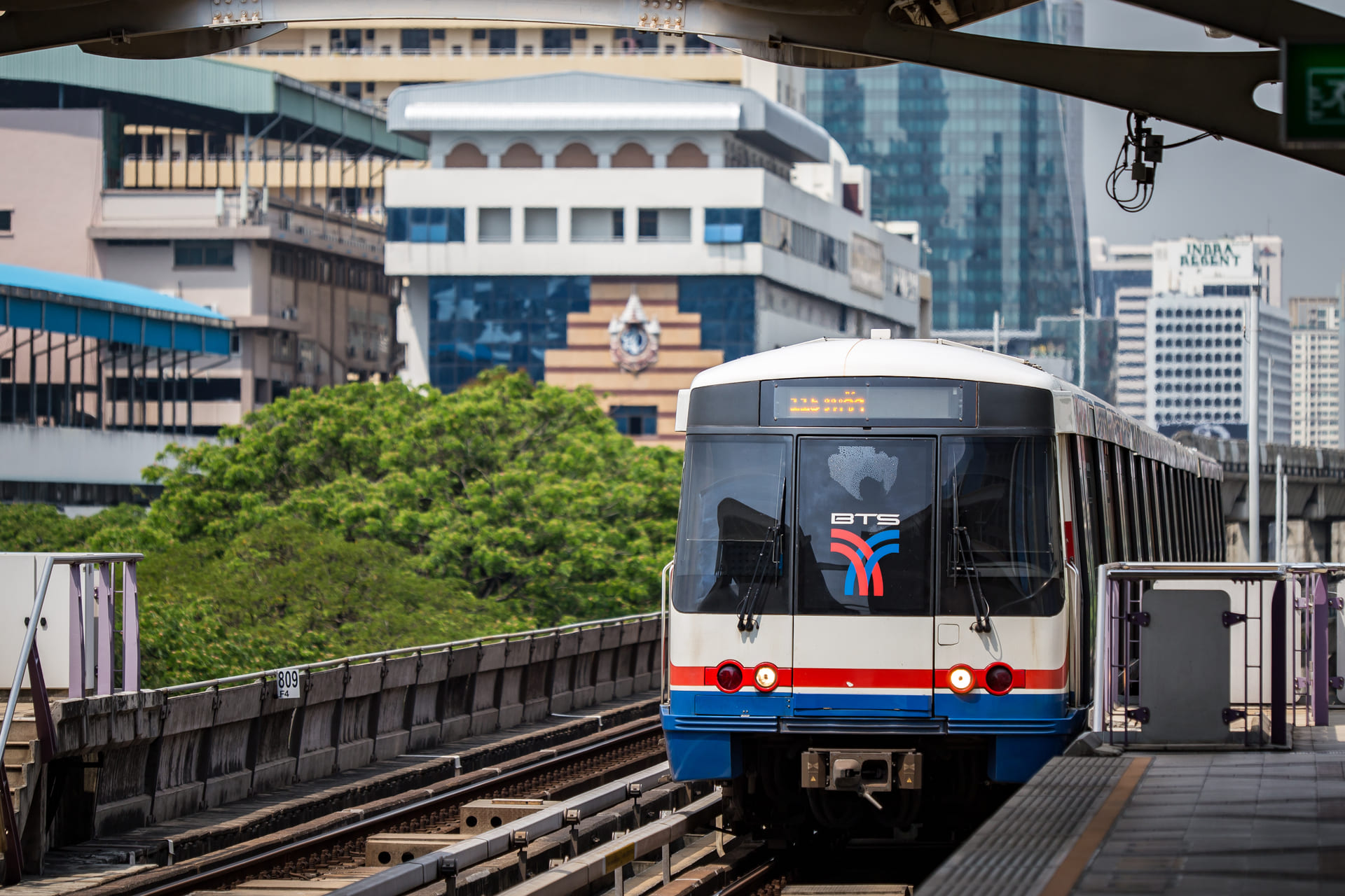
Location-reference data for the road network — for members connecting traffic data with iTIC
A Location Table is a structured set of location-reference data for a road network. It identifies intersections, road segments, directions, and Location Codes, allowing traffic information from different systems to refer to the same physical location consistently.
Instead of describing an incident as "an accident near Intersection A," a system can transmit Location Code: 12345, enabling receiving systems to display the incident at the corresponding map location.
A Location Table enables traffic events — accidents, congestion, roadworks, flooding, and lane closures — to be located accurately and interpreted consistently between iTIC and member systems.
When iTIC sends a congestion event together with a Location Code, a member system can use the Location Table to match that code to its map and display the affected area to users.
iTIC manages and publishes the Location Table in collaboration with an external map-data provider, supporting updates that reflect changes in the road network. iTIC coordinates the process, reviews data completeness, prepares new versions, and notifies members when updated data is available. The names of the map-data provider and member organizations using the data are not disclosed in this public document.
Road networks change over time — new roads, connectors, elevated roads, junction improvements, and traffic-direction changes. Keeping the Location Table up to date helps ensure traffic information is accurately referenced and displayed.
When a new road connector opens, relevant location points and road segments may need to be added so incidents on the new route can be transmitted and displayed correctly.
Location Table updates may include:
iTIC uses the Location Table as a location-reference source for producing and distributing traffic information in Thailand. TISA (Traveller Information Services Association) is an international organization that supports standards, validation, and certification services for TMC Location Tables, helping promote data quality and interoperability.
TMC (Traffic Message Channel) is a method for coding and distributing traffic and travel information. It uses Location Codes from a Location Table to identify the location of an event, helping providers and downstream systems interpret event locations consistently.
An event message may identify an accident and include the relevant Location Code. A member system uses the Location Table to associate that code with a map location and present the event to users.
Submitting a Location Table for TISA validation or certification helps confirm that the table aligns with applicable TMC standards and best practices. TISA reviews new and updated Location Tables and operates a certification process for tables that pass the required tests.
Note: TISA does not receive iTIC's daily traffic-event feed. Its role relates to standards, validation, and certification of Location Tables used for TMC services.
TIS 2604 is the Thai Industrial Standard for Traffic Information Service and Exchange, developed by the Thai Industrial Standards Institute (TISI). It supports a consistent approach to providing, managing, and exchanging traffic information among organizations and systems.
Accordingly, TIS 2604 supports traffic information exchange in the Thai context, while the Location Table and TMC enable traffic events to be precisely located and shared between systems.
Traffic information services and exchanges are carried out in accordance with applicable standards and requirements, including TIS 2604 within the relevant operational scope.
Members should monitor update notifications from iTIC and implement the latest Location Table in accordance with applicable technical guidance, so their systems can correctly interpret Location Codes and continuously display traffic information.
If Location Codes are added for a new elevated road, members that update their Location Table can display events on that route. Systems using an earlier version may not identify the location completely.
Using an outdated Location Table may result in:
In general, a Location Table update changes location-reference data rather than the TMC message structure itself. However, members should review each release's change details — such as added, modified, or retired codes — to assess operational impact and plan system updates accordingly.
Yes. Members may report suspected inaccuracies or changes in the road network to iTIC for review and coordination with relevant parties. Information to include in a report:
iTIC
The organization that produces and distributes traffic information and manages the use of Location Tables to support data delivery to members.
TIS 2604
The Thai Industrial Standard for Traffic Information Service and Exchange, developed by the Thai Industrial Standards Institute (TISI).
TISA
Traveller Information Services Association — supports standards, validation, and certification services for TMC Location Tables.
TMC
Traffic Message Channel — a method for coding and distributing traffic information using Location Codes from a Location Table.
Location Table
A table of location-reference data for a road network, including intersections, road segments, directions, and Location Codes.
Thailand Location Table
A Location Table used to reference locations on the road network in Thailand.
Location Code
A unique code representing a location or road segment, enabling different systems to refer to the same location.
Location Point
A reference point on a road network, such as an intersection, U-turn point, toll gate, or the start/end of a route.
Location Segment
A road section between Location Points, used to identify where an event occurs on a route.
Location Table Version
The version number identifying a specific Location Table dataset and its update status.
Traffic Event
An event affecting travel, such as an accident, congestion, roadworks, flooding, or lane closure.
Map Matching
The process of linking a Location Code to the corresponding real-world location on a downstream system's map.
Data Provider
An organization or system that provides traffic or event data to iTIC.
Data Consumer
A member or downstream system that receives data from iTIC for display, analysis, or end-user services.